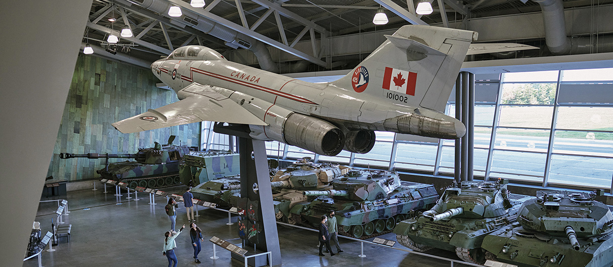
À l’affiche

Exposition en ligne
Leur histoire : Témoignages d’ex-militaires du Canada et de leurs proches
Leur histoire est un projet d’histoire orale sur la vie d’après-service d’ex-militaires du Canada, depuis la Seconde Guerre mondiale jusqu’à aujourd’hui. Le projet comprend plus de 200 entrevues.
Jusqu'à 14 déc. 2025

Exposition en ligne
Le sens des médailles : histoires canadiennes de service et d’honneur
Découvrez les personnes et les histoires qui se cachent derrière des milliers de médailles décernées aux Canadiens et Canadiennes en temps de guerre, de conflit et de paix.
Jusqu'à 14 déc. 2025
Exposition en ligne
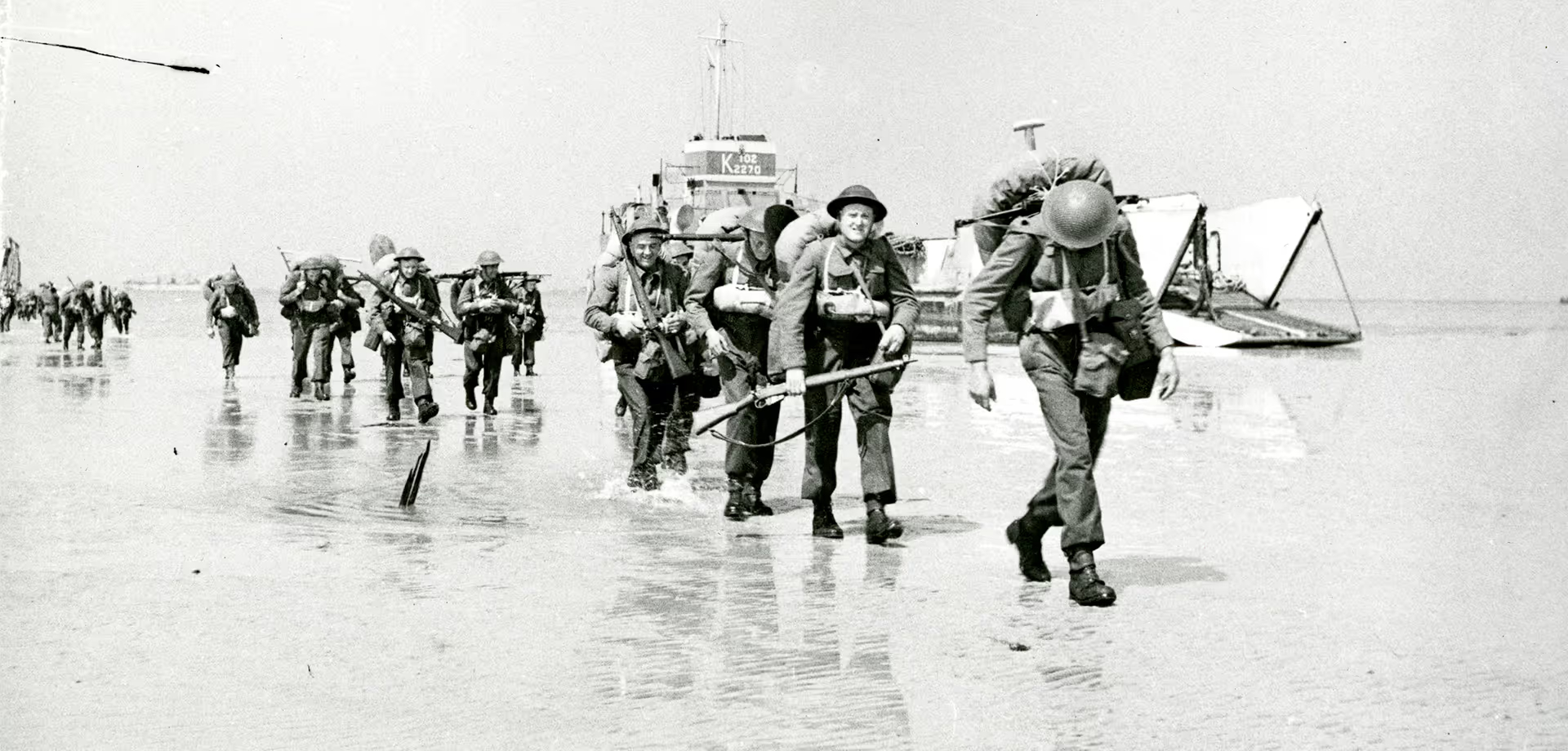
Invasion! Les Canadiens et la bataille de Normandie, 1944
Les débarquements du jour J et la bataille de Normandie ont ouvert un autre front dans la guerre contre l’Allemagne. Cette étape importante a contribué à la victoire des Alliés en Europe en mai 1945.
Jusqu'à 14 déc. 2025
Exposition en ligne
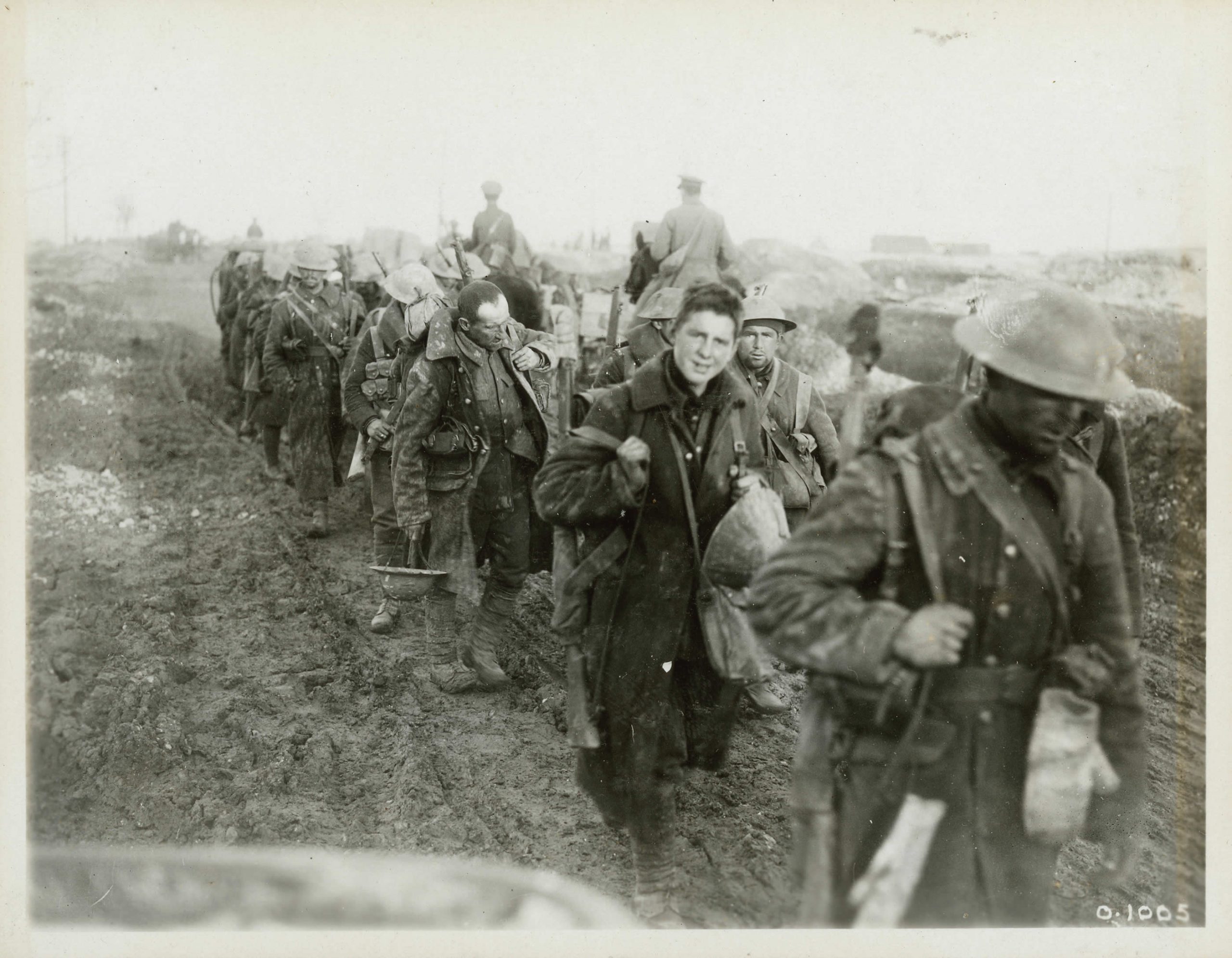
Le Canada et la Première Guerre mondiale
La contribution du Canada à la Première Guerre mondiale lui a permis d’acquérir une autonomie croissante et une reconnaissance internationale, mais à un prix élevé.
Jusqu'à 14 déc. 2025
Exposition en ligne
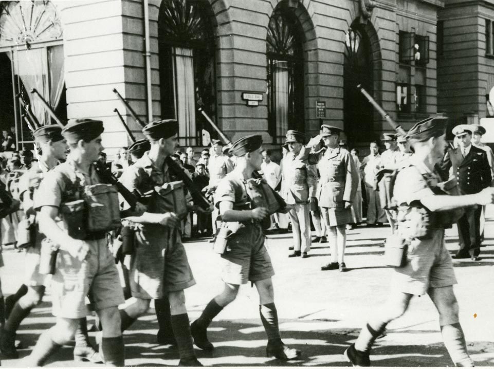
Le Canada en guerre contre le Japon, 1941-1945
Découvrez une guerre qui a eu des conséquences terribles et étendues au Canada et à l’étranger.
Jusqu'à 14 déc. 2025
Exposition en ligne
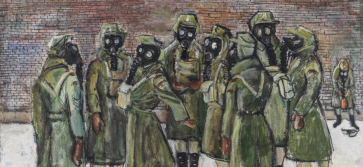
Femmes en uniforme – L’œuvre de l’artiste de guerre Molly Lamb Bobak
Découvrez 19 œuvres créées par Molly Lamb Bobak pendant la période où elle était artiste de guerre officielle.
Jusqu'à 14 déc. 2025
Exposition en ligne
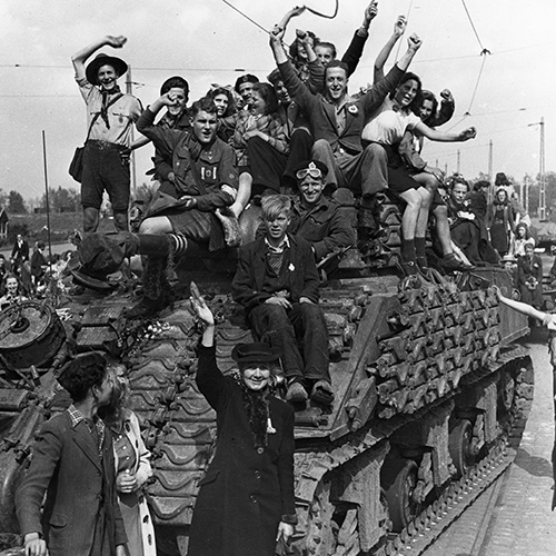
Libération! Le Canada et les Pays-Bas, 1944-1945
Le Canada a joué un rôle important dans la libération des Pays-Bas pendant la Seconde Guerre mondiale.
Jusqu'à 14 déc. 2025
Exposition en ligne
La guerre de l’Indépendance américaine, 1775-1783
Une unique révolution mène à la création de deux pays : le Canada et les États-Unis.
Jusqu'à 14 déc. 2025
Exposition en ligne
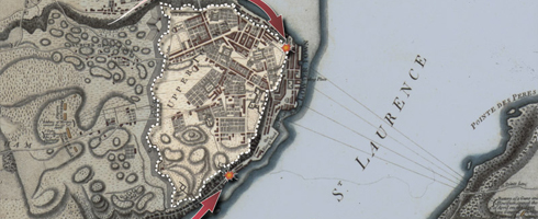
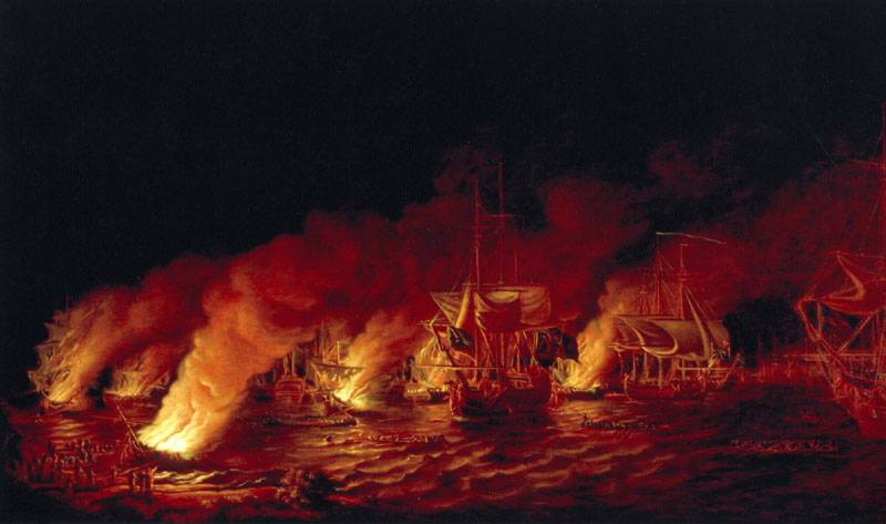
La guerre de Sept Ans, 1754-1763
La rencontre de Montcalm et de Wolfe sur les plaines d'Abraham : une bataille d'à peine 30 minutes qui modifie la face du Canada et celle du monde.
Jusqu'à 14 déc. 2025
Directement des archives